Route Information Help
The following page should provide some explanations of the terminology used in the site. If you require any further explanation, then please get in touch.
OS Openspace Maps
The OS Openspace interface allows for markers and routes to be placed on 1:50000 scale maps, as found on the OS Landranger series. The main map for each mountain/corrie described shows the spread of approximate starting points for each descent listed. Whereas I have made some attempt to locate these markers at the start of the descent, they should be treated as marking the approximate start position of the descent line.
Each individual descent line has an approximate start (green flag), and an approximate finish marked (chequered flag). The line plotted between these points is to give a general indication of the line of the descent. The marker indicate the start and the end of the described line - it may be possible to continue beyond the finish marker in good conditions.
Grid Reference
Where possible, and eight figure grid reference is supplied, along with the two letter 100km square reference. This gives a start location within a 100m x 100m square. The top of many of the descents listed may only be a few metres wide. As a consequence, the grid reference should be treated as an approximate location for the start of the descent.
Approximate start height
The start height of the descent line is the start height of the line as described, in metres above sea level. It may be possible to descend from higher up the mountain to reach this point.
Approximate descent
This value (in metres), is the usual vertical descent possible of the line. In good conditions, it may be possible to continue beyond this point. Often this value indicates the point when the steeper sking ends, and may be a logical point to stop so that other lines can be included in the day.
General Aspect
This is the aspect of the descent line. It is labelled "General Aspect", as it is not uncommon for a line to feature more than one aspect in it's length.
Climbing Grades
Where a line had a climbing grade, it is reasonable to suggest that you should be proficient at climbing the grade. Sections that you can slide over in descent may feel a whole lot more serious when climbing back up. You may also wish to consider whether it is worth carrying enough climbing gear to bypass a difficult section. That's obviously up to you!
An explanation of the values entered for the "climbing grade" section are as follows:
- n/a. The line is not steep enough to warrant a climbing grade. Despite this, it should not be assumed that the line is without risk. There could be short steep or exposed sections that require care.
- Grade I. The lowest climbing grade applies to straighforward snow gullies and faces. It is possible that sections of ice could be encountered, particularly in lean conditions. It's reasonable to assume and an average angle of 450 for such lines, give or take a few degrees.
- Grade II. Essentially, a steeper version of Grade I. High angle snow may be encountered, or small ice pitches.
- Grade III and above. Ice pitches of a significant height will be encountered. You will be faced with a choice of abseilling jumping (!), or turning back.
Grade Notes
This is an interpretation of the grade, based upon experience of ascending many lines of similar grade.
Terms used in the text
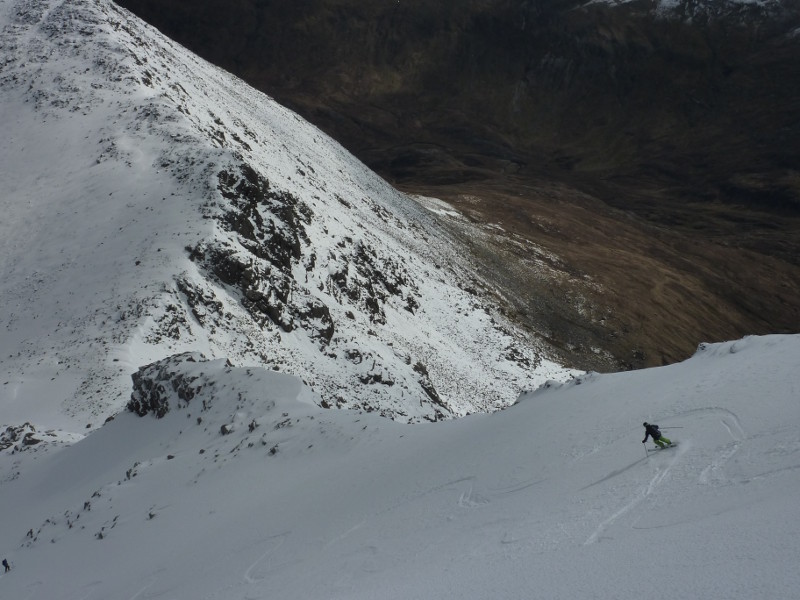
- Where the terms "ski", "skiing" and "skier" are used, they equally apply to "snowboard", "snowboarding" and "snowboarder".
- "skiers left". Looking down the line of descent, this is the left hand side. Equates to "climbers right".
- "skiers right". Looking down the line of descent, this is the right hand side. Equates to "climbers left".
- "climbers left". Looking up the line you wish to climb, this is the left hand side. Equates to "skiers right".
- "climbers right". Looking up the line you wish to climb, this is the righthand side. Equates to "skiers left".
New pages and updates to the site, including Gleann Eanaich, Bla Bheinn and Beinn Alligin
07-Apr-21